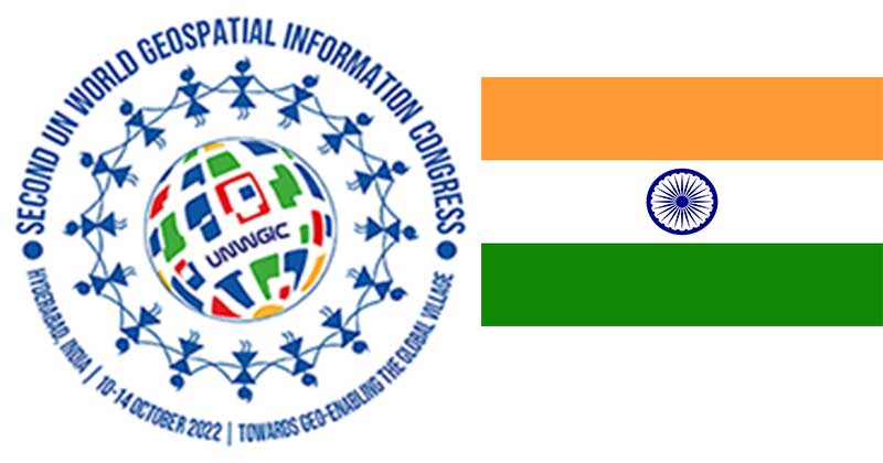
The United Nations Department of Economic Affairs along with the Ministry of Science and Technology (GoI) convened the 2nd United Nations World Geospatial Information Congress (UNWGIC) in the Indian city of Hyderabad from October 11th to 14th 2022. This mega event was attended by the Hon’ble Prime Minister of India Shri Narendra Modi along with 2500 delegates from 120 countries.
The underlying theme for the event was Geo-Enabling the Geo Village: No one should be left behind. The move aimed at providing high-quality and trustworthy geospatial data to support global and national policy agendas. The UNWGIC also stressed international cooperation and coordination in the development of human data linked to geography.
At the inaugural session, PM Modi stated the importance of Geospatial Technology in India. He termed it as a tool of inclusion and not exclusion in India. He highlighted that geospatial technology is a key enabler for socio-economic development by enhancing productivity, sustainable infrastructure planning, and effective administration and acts as an aid to the farm sector.
The geospatial sector is important as it embraces digital transformation and technological advancement. It can be used to create intelligent maps and models which will help in collecting geography-related data. Decision-based on values and the importance of resources, most of which are limited will be made easily via Geospatial technology.
It will aid in revealing spatial patterns hidden in large amounts of data that are complex to access collectively through mapping. Geospatial Technology will indeed prove to be a boon for experts and students studying “Political Geography. “India has displayed the practical application of geospatial technology. The target sector here was rural areas. The PM stated that India has followed a programme called SVAMITVA. (Survey of Villages and Mapping with Improvised Technology in Village Areas). Under this scheme, India will use drones to map properties in villages.
The Prime Minister also listed the progress of geospatial technology in other sectors. Geospatial technology will help in proper border management. Especially in areas that cannot be patrolled. It will also help security forces to conduct surgical strikes and destroy terror outfits. He pointed out that data collected over 200 years in India will be open and accessible to all. Military Aircraft can use geospatial technology for precision strikes and bombings. It will be highly instrumental in carrying out Humanitarian and Disaster Relief (HADR) Missions by disaster management forces.
PM Modi asserted that continuous efforts in India to make infrastructure form the backbone of geospatial technology. India will extend this infrastructure access to benefit South Asian neighbor states too.PM Modi had called all the bright young minds and youth to take part in the progress of the geospatial sector as the government has started Research and development (R&D) and innovation in the field of emerging technologies.
India’s geospatial economy is growing larger and larger. It is expected to cross Rs 63,000 crore by 2025 and achieve a more than 10 per cent growth rate. India is also emerging as one of the most important leaders of technological change, especially in the arena of digital technology and other frontier technologies. In addition, India has acquired some of the most important geospatial technology from the United States of America through BECA (Basic Exchange Cooperation Agreement) signed in 2020.