Intro : The strategic significance of India's fourth navigation satellite IRNSS-1D lies in the fact that it would free the country from its dependence on American GPS system for navigation services.
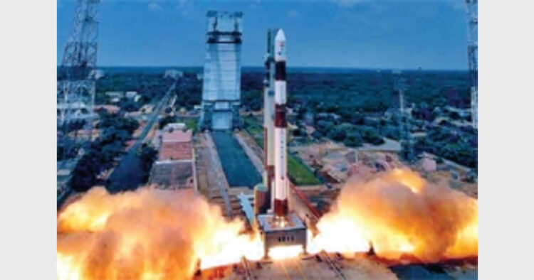
The successful launch of India’s fourth navigation satellite, IRNSS-1D by means of an augmented version of the four stage Indian space workhorse, Polar Satellite Launch Vehicle (PSLV) on March 28, 2015 from Satish Dhawan Space Centre (SDSC) in Sriharikota island on India’s eastern coast has brought the country a step closer to realising the full fledged seven spacecraft Indian Regional Navigation Satellite System (IRNSS). It was the difficulties that Indian experienced in accessing the restricted services of GPS that nudged the Indian Space Research Organisation (ISRO) to realise a domestic satellite navigation system.
Currently only USA, Russia, China and European Union either possesses full fledged satellite navigation systems or are in the process of establishing their own satellite navigation constellations. The dual use potentials of IRNSS, in particular, would help the Indian defence forces launch its long range missiles and high precision weapons with an excellent accuracy in addition to supporting search and rescue operations, location of enemy territory with a high degree of precision and providing a boost to the network centric warfare strategy. As it is, the initial intelligence failure of Indian army patrol units during the 1999 Kargil skirmish with Pakistan was traced to the non-availability of satellite navigation services to locate position. And with a desi navigation satellite system in place, Indian defence forces will no more face handicap in terms of intelligence gathering. The Indian defence forces–in tandem with the data from earth observation satellites-could be able to use IRNSS potentials for keeping a tab on disturbed area in and around the neighbourhood of the country. In addition, the IRNSS constellation will be a vital support base for the proposed Indian aerospace command which is yet to receive the green signal from the Indian government.
Significantly, the IRNSS-1D reached its intended orbit in about twenty minutes of the take off of PSLV-C-27 mission from the second launch pad of SDSC. Prime Minister Narendra Modi, congratulating ISRO said, “Launch of IRNSS-1D is yet another manifestation of the exemplary efforts and utmost brilliance of our scientists”. Designed for a mission life of ten years, IRNSS-1D will be similar in capability and configuration to its three predecessors–IRNSS-1A, IRNSS-1B and IRNSS-1C— that are already in orbit providing a range of navigation services. Everything going as planned, three more satellites in the constellation—IRNSS-1E and IRNSS-IF and IRNSS-1G—will be in orbit by the first quarter of next year to help the country operate a full fledged space based navigation system. ISRO has already hinted that with a view to expand the scope IRNSS constellation, four more satellites could be launched in the years ahead. The IRNSS system has been designed to provide highly accurate position, velocity and time information services in real time and under all weather conditions on a round the clock basis.
According to ISRO, the four satellites in IRNSS constellation meet the minimum number of space platforms for enabling a navigation receiver to compute its position. Indeed as pointed out by ISRO, with IRNSS-1D in orbit, proof of concept of an independent regional navigation satellite system over the Indian region has been clearly demonstrated. ”We have established our independent capability to locate ourselves with our own positioning system,” said a visibly delighted ISRO Chairman AS Kiran Kumar.
The commercial potentials of IRNSS are expected to be exploited for a number of uses in the country. Some of the civilian applications to which IRNSS can be put to use include surveying and mapping, telecommunications including mobile telephony, transportation and, fleet management, disaster warning, search and rescue operations. Incidentally, road based vehicles as well as aircraft and ships are now increasingly falling back on satellite based navigation services to boost their efficiency and safety.
Further into future, India can also explore the possibility of making available the services of IRNSS on commercial terms to the neighbouring countries.
Radhakrishna Rao (The writer is a freelance columnist)


Comments