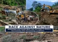
The Border Roads Organisation (BRO) has initiated the construction of a 64 km long Likaru-Mig-la Fukche Road close to the Hanle, which is located in the Demchok Sector of Eastern Ladakh. Once completed, it will be the highest motorable road at 19,400 feet.
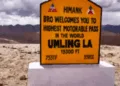
Currently, the Umling La in Ladakh, at a height of 19024 feet, is the world’s highest motorable road pass. It is a 52km stretch connecting Chishumle to Demchok, located on the right on the Line of Actual Control (LAC) and is a friction point between India and China.
Strategic Significance
According to many media reports, an all-woman unit of the BRO engineers began construction on August 15, 2023. The new road connecting Likaru with Fukche will play a crucial role in accessing the Armed forces of India to be deployed all along the Indus Valley In Fukche right up to Demchok. Fukche is located 3 km away from the LAC in Eastern Ladakh.
The new road will provide certain advantages to the military. Since it is in close proximity to the LAC, it will help the armed forces in mobilizing and transporting troops and military equipment, including rations.
“The Chushul-Dungti-Fukche-Demchok (CDFD) road runs parallel to the LAC. The new road is a feeder road to reach the CDFD, which means that it will take a shorter span of time to reach the LAC. Apart from its strategic importance, it will also lead to the socio-economic development of the adjacent villages,” a BRO Public Relations Officer said.
Geography of the Area
Explaining the geography of the area, Lt.Gen Rakesh Sharma, who was once the commander of the Frie and Fury Corps in Ladakh, said that “the Indus river enters Tibet at Demchok and goes all the way 75km, between the Kailash Range and the Ladakh Range before it turns westward, splitting the Ladakh Range at Dungti. This used to be the only road to access up to Demchok through Dungti.”
The region is also susceptible to heavy snowfall; temperatures there can go to minus ten to twenty degrees in summers and minus forty in winters. He added that there was always a need to have an additional role axial in military parlance connecting the Chumar sector to the Hanle sector to the Indus Valley.
“It is a question of strategic geography that matters here. Till now, our access was limited to 75km of the LAC, especially because the Kailash Range is largely held by the Peoples Liberation Army (PLA),” Sharma said.
Challenges
Due to the extreme climate, the efficiency of machines and manpower declines by 50 per cent. After every ten minutes, the machine operators have to come down for oxygen. Logistics is another major challenge at this altitude. Taking equipment so high and repairing and maintaining it, coupled with frequent breakdowns, is a tough task for the BRO and its engineers.
The BRO personnel also face serious health problems such as loss of memory, eyesight, and high blood pressure. Some suffer from heatstroke in summers and frostbite in peak winters. In order to overcome such challenges, the armed forces and BRO personnel.
They have to acclimatize themselves in three stages to combat challenges. The first is done at Leh, then Shakti and Nuba before being in this sector. The Physical and Mental fitness of the team is very critical.
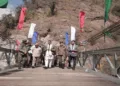
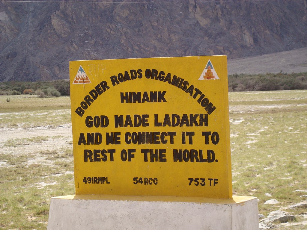
Project Himank
Initiated in 1985, “Project Himank” is a Border Roads Organisation (BRO) project. Under this project, the BRO is responsible for the construction and maintenance of the roads and other infrastructure, including the world’s highest motorable roads. The road has been constructed at an altitude higher than the Mt Everest Base Camps as the South Base Camp in Nepal is at an altitude of 17,598 ft, while the North Base Camp in Tibet is at 16,900 ft.