
New Delhi: India on Saturday rejected outright Nepal Parliament’s move on the passing of Constitutional Amendment Bill that approves new and controversial map.
“This artificial enlargement of claims is not based on historical fact or evidence and is not tenable,” MEA spokesman Anurag Srivastava said in response to media queries on the passing of Constitutional Amendment Bill revising the Coat of Arms of Nepal by the House of Representatives of Nepal.
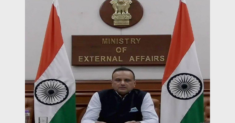
“We have noted that the House of Representatives of Nepal has passed a constitution amendment bill for changing the map of Nepal to include parts of Indian territory. We have already made our position clear on this matter,” the MEA spokesman said.
He further said that the fresh move “is also violative of our current understanding to hold talks on outstanding boundary issues.”
Nepal and India share a 1,800 km open border. The Nepal cabinet in May endorsed a new political map that incorporates Limpiyadhura, Lipulekh, and Kalapani as part of its territory. It is the first time Nepal is staking claim to Limpiyadhura though it had earlier also claimed Lipulekh and Kalapani.
In 1816, Nepal had agreed about its borders with the then British colonial masters, but there have been rows in the last few decades.
India on May 20 flayed Nepal government for what it said trying to lay claims on “artificial enlargement” of territory and asserted such moves will not be accepted by India.
“The Government of Nepal has released a revised official map of Nepal that includes parts of Indian territory. This unilateral act is not based on historical facts and evidence,” MEA spokesman Srivastava has said in reply to a question on May 20.
“It is contrary to the bilateral understanding to resolve the outstanding boundary issues through diplomatic dialogue. Such artificial enlargement of territorial claims will not be accepted by India,” he said.
The Nepal government had launched a new map at a media conference in Kathmandu. India has been maintaining that the Nepal government should return to the dialogue process.
The diplomatic row had begun on May 8 after Defence Minister Rajnath Singh opened an 80-km road that ends at Lipulekh Pass on the border with China. The road was built so that pilgrims going to Kailash-Mansarovar in the Tibet Autonomous Region can avoid dangerous high-altitude routes through Sikkim and Nepal.
In May, Army chief General M M Naravane had said that Nepal was ratcheting up the Lipulekh border issue at the “behest of someone else” – a veiled reference to China. The Indian Army has been locked in a military stand-off with China, but there have been talks also.
Nepal’s lower House of Parliament gave the nod to a constitutional amendment bill to reflect its new map in the national emblem. The draft law was supported by all the 258 lawmakers present, reports say.