In the next five years, India is aiming to launch 50 satellites for geo-intelligence gathering which will include the creation of layers of satellites in different orbits with the capacity to track the movements of troops and image thousands of kilometers of area, ISRO chairman S. Somanath said.
India’s Satellite Fleet
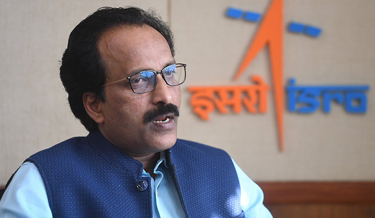
Speaking at Techfest, an annual science and technology event organized by the Indian Institute of Technology Bombay or IIT Bombay. Somanath said that to realize India’s aspirations to become a strong nation, the current size and fleet of satellites that India currently poses is not good enough. “It should be ten times more than the current figure.”
Somanath noted that the overall satellite fleet of the country, with its current strength of 54, is “just not enough” for a nation like India which is aspiring to be powerful. “I think it must be ten times what we have today,” the ISRO chief said.
It is important to improve the ability of satellites to detect changes, to bring more AI-related data and a data-driven approach to analyze data, reduce data downloads, and get only the needed and necessary information, he said. Spacecrafts are capable of observing a country’s borders and the neighboring areas, the ISRO Chief said.
Importance of Satellites
“All of it can be seen from satellites. This gives us enormous potential. We have been launching satellites to handle this but there is a different way of thinking now and we need to look at it in a certain critical manner because the power of any nation is the ability to understand what is happening around it,” Somanath said. “Many of them are designed and configured,” he added.
“We have configured 50 satellites to be realized in the next five years and this is going to be launched for India for supporting this particular geo-intelligence over the next five years plus period, the ISRO Chief added. If India can launch satellites at this scale, threats to the country can be mitigated better.
“We have found a way by which a layer of satellites can be launched from the GEO (Geo-Stationary Equatorial Orbit) to LEO (Low Earth Orbit) and also in very low orbit where we need very critical assessment of some situations. This is a new domain that is coming up not only in optical, but also in SAR (Synthetic Aperture Radar), thermal, and various technologies
Communication between Satellites
“We will have communication between satellites so that if one satellite detects something which has at GEO (36,000) km, it can have a large view. If you see anything happening, you can task another satellite in the lower orbit to check more carefully and then give more information,” he said.
“We are also looking at imaging, not a very small area (but) thousands of kilometers of area and we would like to cover entire borders in everyday cycles. This is a tremendous capability that we are building if we can launch these satellites in the next five years,” he said.